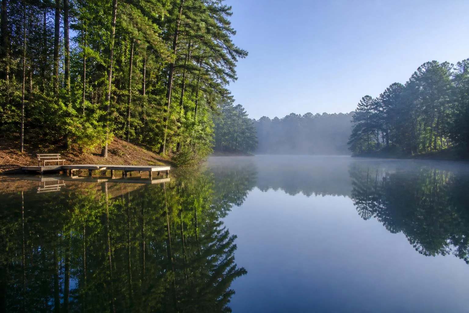
The Lake
Lake Tillery: the reservoir, the river, and the ridgelines
Lake Tillery is a 5,260-acre Duke Energy reservoir on the Pee Dee River in Stanly and Montgomery counties, roughly 15 miles long and held near 278 feet above sea level — wrapped in the oldest mountain range in eastern North America and shared by two counties that have never been in a hurry.
- Surface acres
- 5,260
- Length
- ~15 mi
- Full pond
- ~278 ft
- Acre-feet stored
- 88,000
Geography
Where the lake sits and why that matters
Lake Tillery is a run-of-river reservoir on the Pee Dee, the stretch of the Yadkin River that takes a new name below High Rock. Stanly County holds the western shoreline; Montgomery County holds the eastern. The lake runs roughly north to south for about 15 miles, from the tailwaters of Falls Dam down to Tillery Dam near Norwood.
That north-south orientation is the first thing regular boaters learn. The upper lake is narrow, river-like, and quiet, with current you can feel. The middle lake widens into the broad water most people picture, crossed by the NC 24/27 causeway at Swift Island. Below the causeway the lake spreads again before tightening toward the dam.
The second thing that shapes life here is Morrow Mountain. The state park occupies a large peninsula on the western shore, which means a substantial share of Lake Tillery's shoreline will never be developed. Buyers who care about long, uninterrupted views usually end up pointed toward water that faces public land.
The dam
Tillery Dam and the Yadkin–Pee Dee chain
Tillery Dam was completed in 1928 and remains the structure that defines the lake. Today Duke Energy operates it as part of the Yadkin–Pee Dee hydroelectric project, alongside Blewett Falls downstream. Because generation and upstream releases both influence the pool, Tillery behaves less like a storage lake and more like a wide, slow river held at a working elevation.
In practice that means comparatively stable summer levels with real short-term movement after heavy upstream rain. Owners with shallow dockage learn to watch the reservoir data rather than assume a fixed depth, and anyone evaluating a waterfront purchase should check how the lot behaves across a range of pool elevations, not just on the day they toured it.
- Operated by Duke Energy as part of the Yadkin–Pee Dee project
- Full pond near 278 feet above sea level
- Part of a chain including Falls, Blewett Falls, and Badin
- Levels respond to upstream releases and rainfall
Character
What the lake feels like across the seasons
Spring is the most underrated season here: the water is cold, the fishing is at its best, and the hardwoods along the shoreline turn from bare to full in about three weeks. Summer is the busy season — weekends bring pontoon traffic through the mid-lake and steady activity at the ramps, though the coves stay quiet even in July.
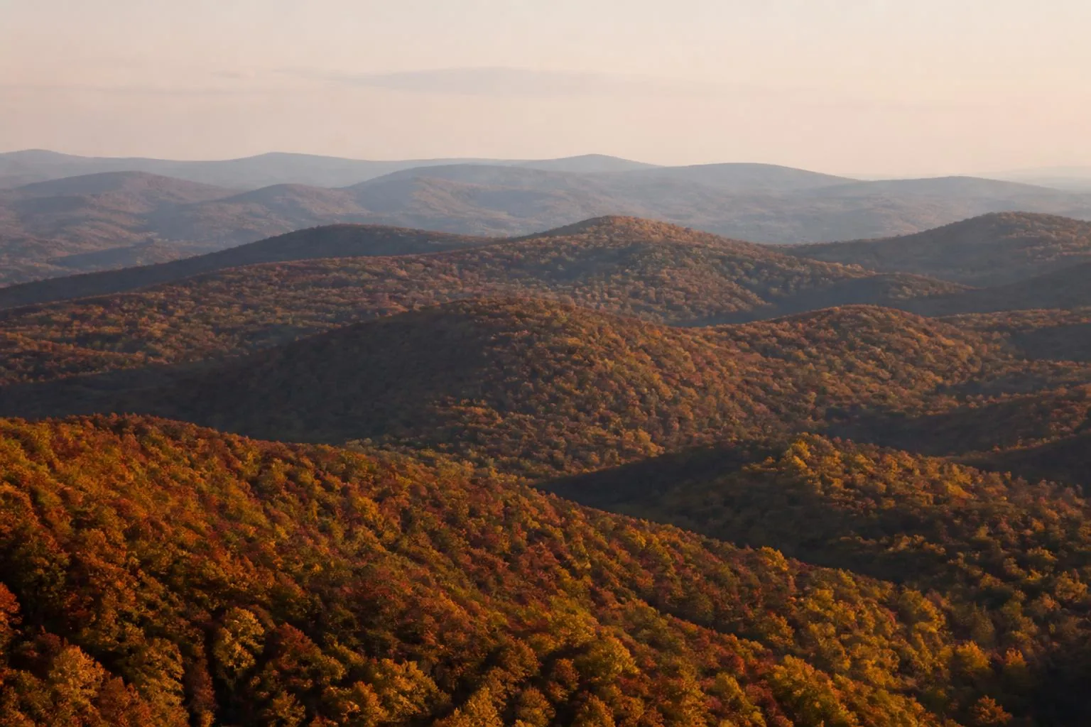
Fall is the reason many people buy here. The Uwharries do color well, the water stays warm into October, and boat traffic drops sharply after Labor Day. Winter is genuinely quiet; a handful of anglers work the channel, the state park trails empty out, and the lake settles into off-season.
The region
Two counties, five towns, one lake
The lake has no single town of its own. Instead, life is distributed: Norwood and Albemarle handle services on the Stanly side; Mount Gilead and Troy do the same in Montgomery County; Badin sits north on its own reservoir. Understanding which side of the water you are on matters for schools, permits, taxes, and how long the drive to a grocery store takes.

Questions
Frequently asked
How big is Lake Tillery?
Lake Tillery covers 5,260 surface acres and runs roughly 15 miles from the Falls Dam tailwaters down to Tillery Dam, holding about 88,000 acre-feet of water at a full pool of 278 feet above sea level. That makes it a mid-sized North Carolina reservoir — about one seventh the surface area of Lake Norman — with far less weekend traffic.
How deep is Lake Tillery?
Depth depends entirely on where you are. The flooded Pee Dee River channel runs deep down the middle of the lake, and published figures put the maximum depth near Tillery Dam as high as 200 feet, while coves and the upper, river-like end are only a few feet deep in places. Because Tillery is a run-of-river reservoir, usable depth at a specific dock depends on both the lot and the current pool elevation.
How long is Lake Tillery?
About 15 miles north to south, from below Falls Dam to Tillery Dam near Norwood, crossed near its middle by the NC 24/27 causeway at Swift Island.
Who owns and manages Lake Tillery?
Duke Energy operates Tillery Dam and manages the reservoir and its shoreline program as part of the Yadkin–Pee Dee hydroelectric project. Shoreline structures such as docks are subject to Duke Energy's shoreline management requirements in addition to county rules.
Is Lake Tillery a natural lake?
No. Lake Tillery is a man-made reservoir created by the completion of Tillery Dam on the Pee Dee River in 1928.
How far is Lake Tillery from Charlotte?
Roughly 50 miles east of Charlotte, generally about an hour to an hour and fifteen minutes depending on the route and which side of the lake you are headed to.
Keep exploring
Where to go next
Wildlife and water safety
Alligators, snakes, and safe swimming.
Water levels & the dam
How the reservoir is managed and what moves the pool.
Boat ramps & access
Every public launch and access point around the lake.
History of the area
Pee Dee culture, the Uwharries, and the 1928 dam.
Living on Lake Tillery
Daily life, utilities, seasons, and trade-offs.
Camping & RV sites
State park, RV parks, and forest camping.
Tillery vs Lake Norman
The comparison people ask for most.