Stanly & Montgomery Counties · North Carolina
Lake Tillery, NC — waterfront homes, boating, communities & local guide
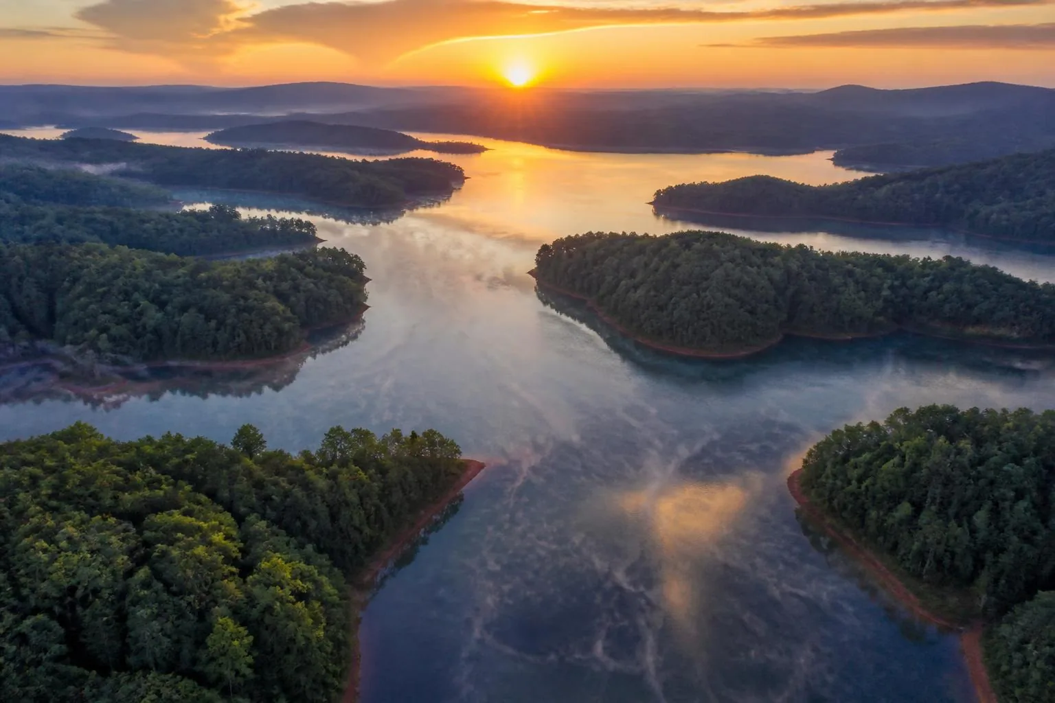
5,260 acres of Pee Dee River water. 104 miles of shoreline. Uwharrie ridgelines on every horizon. This is the complete guide to living, buying, building, and spending time on Lake Tillery.
- Acres of water
- 5,260
- Shoreline
- 104 mi
- Full pond elevation
- 278 ft
- Tillery Dam completed
- 1928
Lake Tillery at a glance
The verified basics, in one place
- Lake
- Lake Tillery, a man-made reservoir on the Pee Dee River
- State & region
- North Carolina — Piedmont, in the Uwharrie Lakes region
- Counties
- Stanly County (west shore) and Montgomery County (east shore)
- Nearby towns
- Norwood, Albemarle, Mount Gilead, Troy, and Badin
- Size
- About 5,260 surface acres, roughly 18 miles long, ~104 miles of shoreline
- Full pond
- Near 278 feet above sea level, held by Tillery Dam (completed 1928)
- Lake operator
- Duke Energy, as part of the Yadkin–Pee Dee hydroelectric project
- Housing
- Waterfront homes with private docks, water-access communities, and off-water acreage
- Primary activities
- Boating, fishing, swimming, paddling, and waterfront living
- Charlotte distance
- Roughly 50 miles east of Charlotte
The lake
A quieter reservoir with real water and real shoreline
Lake Tillery has the thing every lake buyer eventually asks for: usable water, protected coves, and a shoreline that never feels crowded. It sits far enough from Charlotte to stay unhurried and close enough that a Friday-evening drive is easy.
The lake was formed when Tillery Dam closed the Pee Dee River in 1928. Nearly a century later, the shoreline holds a mix of long-held family lake houses, established neighborhoods, golf-and-water communities, and new custom construction — with Morrow Mountain State Park and the Uwharrie National Forest framing the view.
About Lake Tillery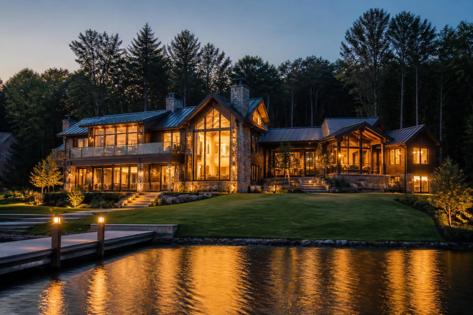
Start here
Six ways into the Lake Tillery area
Every section below is a full guide, not a teaser — written for people deciding whether this is where they want to be.
Market
Waterfront real estate
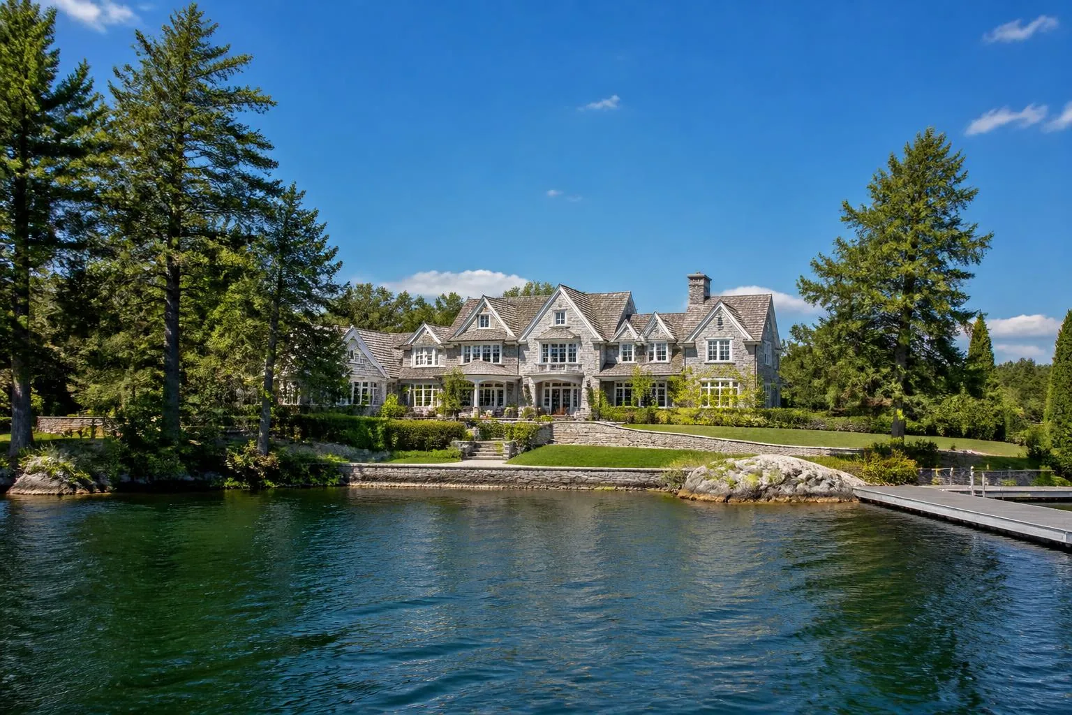
How the Lake Tillery market is structured: waterfront, water-access, and acreage — and what actually drives price here.
Explore
Neighborhoods
Lake communities
Tillery Tradition, Woodrun, water-access neighborhoods, and the upper-lake acreage areas, compared honestly.
Explore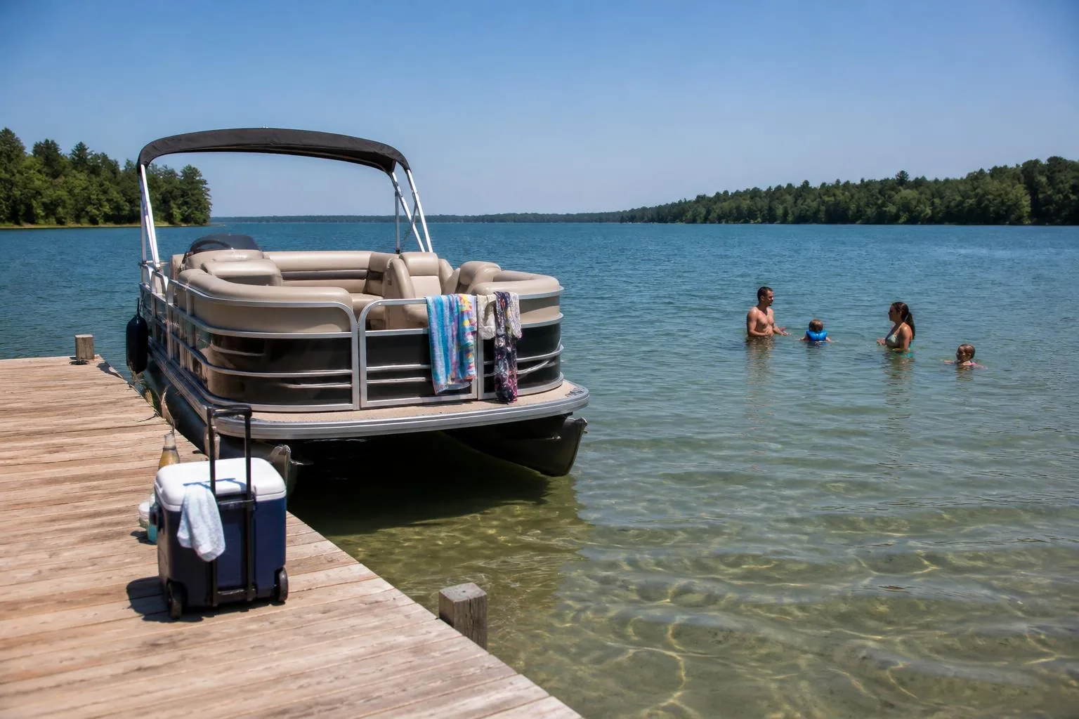
On the water
Boating & water sports
Ramps, marinas, no-wake etiquette, and where the good water is on a summer Saturday.
Explore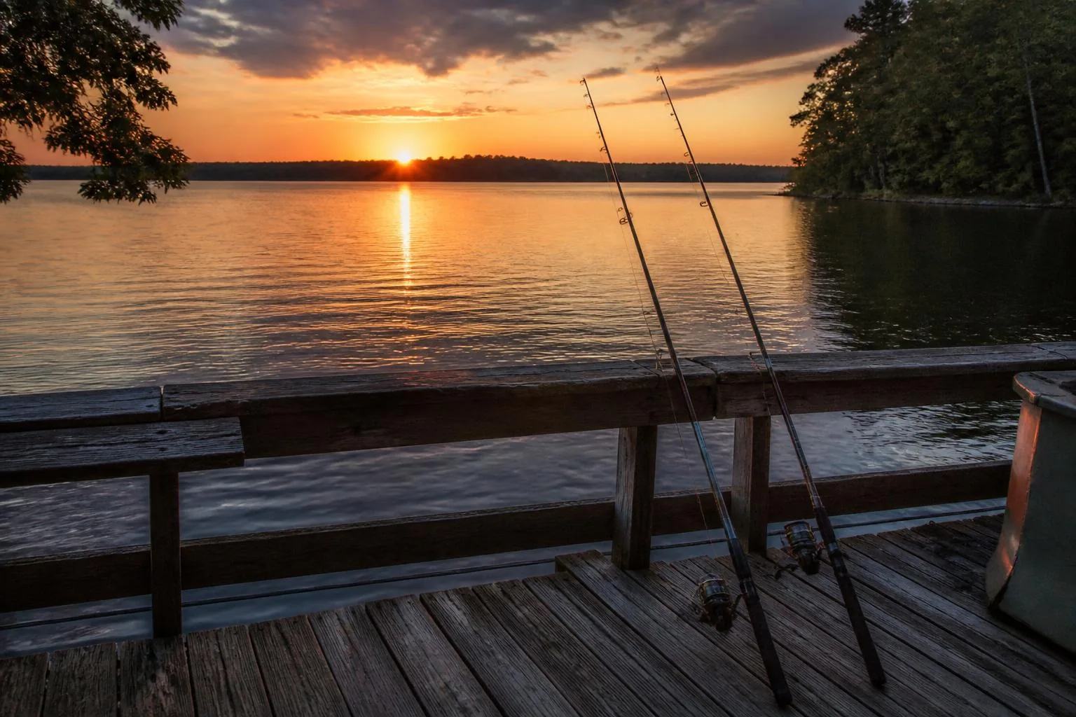
Angling
Fishing Lake Tillery
Largemouth, stripers, catfish, and crappie — seasonal patterns, structure, and access points.
Explore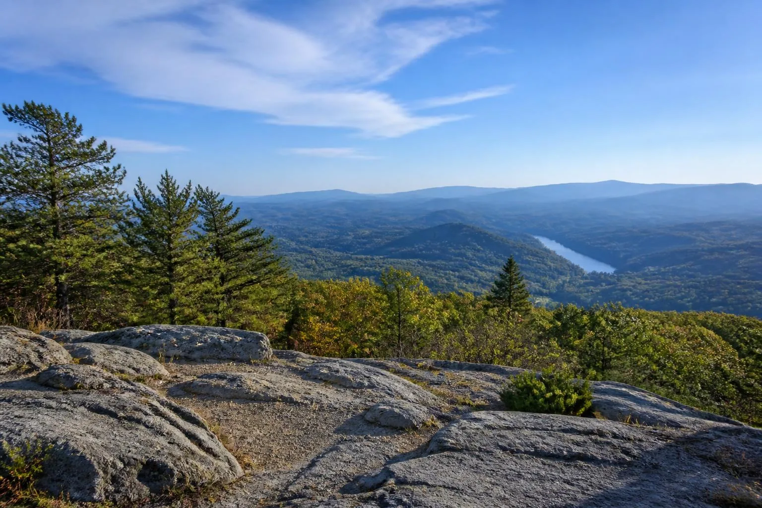
Land
Morrow Mountain & Uwharrie
One of the oldest mountain ranges in North America, a state park on the shoreline, and 50,000 forest acres east.
Explore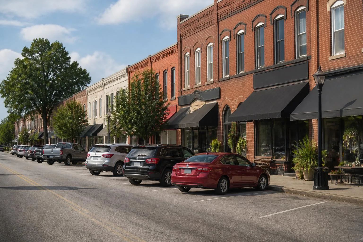
Community
Towns & local life
Albemarle, Norwood, Mount Gilead, Badin, and Troy — services, schools, dining, and errands.
ExploreOrient yourself
The interactive Lake Tillery map
Filter by boat access, marinas, recreation, towns, and communities, then step through each location on the map.
Landmark
Lake Tillery (center)
A 5,260-acre Duke Energy reservoir on the Pee Dee River between Stanly and Montgomery counties.
Open larger mapWhere people live
Communities around the shoreline
Golf & waterfront community
Tillery Tradition
The lake's best-known planned community — golf, a country club, and a mix of waterfront and interior homesites on the western shore.
Established waterfront neighborhood
Woodrun
Mature hardwood lots, quiet coves, and a long-standing community of full-time residents and lake families.
Gated new-construction community
Edgewater on Lake Tillery
A gated community of new single-family homes on the Norwood side of the lake, with waterfront and wooded interior homesites.
Established lake neighborhood
Holiday Shores
One of the lake's long-standing shoreline neighborhoods on the Montgomery County side, mapped as its own place on the Morrow Mountain quad.
Wooded lake community
Carolina Forest
A quiet wooded pocket on the Montgomery County shore just north of Holiday Shores, heavy on tree cover and light on through traffic.
Acreage & river-influence area
Upper Lake & Acreage
Larger parcels near the upper lake where the reservoir still reads like the Pee Dee River it was.
Off the water
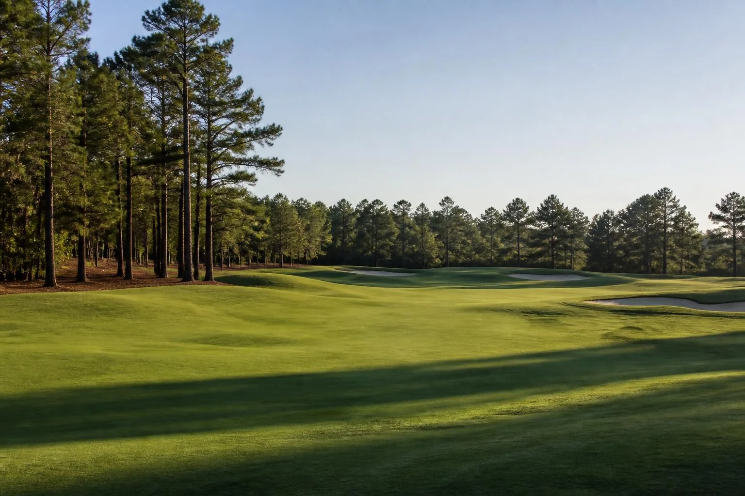
Golf, trails, pottery, and a forest older than the Appalachians
The Uwharries are the eroded remains of a volcanic range once far taller than today's Appalachian peaks. Between the lake, the state park, the national forest, and the Seagrove pottery corridor, the land around Lake Tillery is unusually deep for a rural region.
Featured Partners
The people who build, sell, design, and wire lake houses here
Four local firms cover the full arc of a Lake Tillery home — from finding the lot to the last speaker on the dock.
Custom Home Builder
Peters Custom Homes
Waterfront custom homes built for the way Lake Tillery is actually lived in — dock to kitchen, boat to porch.
peterscustomhomes.comRead their profileReal Estate
Peters & Associates
Local representation for buyers and sellers across Lake Tillery's waterfront, water-access, and acreage markets.
yourleaderinluxury.comRead their profileInterior Design
Emerald & Oak
Interiors with a quiet, natural hand — white oak, stone, linen, and light shaped around the water.
emeraldoakdesign.comRead their profileAudio, Video & Automation
Peters Audio Video
Media rooms, whole-home audio, lighting, shades, networking, and dock-side sound engineered to disappear.
petersaudiovideo.comRead their profileGo deeper
The rest of the Lake Tillery library
Relocation, home values, dock rules, building and renovating, camping, and honest comparisons with the other North Carolina lakes.
- Living on Lake Tillery
- Moving to Lake Tillery
- Waterfront homes
- Luxury homes & estates
- Home values
- Custom homes
- Renovations
- Private docks & permits
- Marinas
- Boat ramps & access
- Camping & RV sites
- Restaurants near the lake
- Schools by shore
- Tillery vs Lake Norman
- Tillery vs Badin Lake
- Tillery vs Lake Wylie
- Lake Tillery FAQ
- Interactive map
Questions
Lake Tillery, answered
Where is Lake Tillery, North Carolina?
Lake Tillery lies on the Pee Dee River between Stanly County to the west and Montgomery County to the east, roughly 50 miles east of Charlotte. NC 24/27 crosses the lake at the Swift Island causeway, and Albemarle, Norwood, Mount Gilead, and Troy ring the area.
How big is Lake Tillery?
Lake Tillery covers about 5,260 acres with roughly 104 miles of shoreline. Full pond sits near 278 feet above sea level, held by Tillery Dam, completed in 1928 and operated today by Duke Energy.
Is Lake Tillery a good place to buy a home?
Lake Tillery draws buyers who want usable water without the pricing and congestion of larger reservoirs closer to Charlotte. Inventory divides into true waterfront with private docks, water-access communities with shared launches, and off-water acreage. Because supply is limited, waterfront moves quickly when it is priced correctly.
What is there to do on Lake Tillery?
Boating, water sports, and fishing lead the list — Tillery holds largemouth and striped bass, catfish, and crappie. On land, Morrow Mountain State Park adds trails, camping, and cabins; Uwharrie National Forest sits just east; and Town Creek Indian Mound anchors the region's history.
Are the lake levels stable on Lake Tillery?
Tillery is a run-of-river reservoir in Duke Energy's Yadkin–Pee Dee chain, so levels fluctuate less dramatically than storage lakes but still move with rainfall, upstream releases, and generation schedules. Check current reservoir levels before planning shallow-water dockage.
What counties border Lake Tillery?
Stanly County holds the western shoreline and Montgomery County holds the eastern shoreline. County determines property taxes, permitting, and school assignment, so confirm it by parcel record rather than by mailing address.
Can you swim in Lake Tillery?
Yes. Swimming from private docks, anchored boats in coves, and designated areas is common through the warm months, and Morrow Mountain State Park has a pool and picnic areas. There are no alligators in Lake Tillery — the species' North Carolina range is coastal, not Piedmont.
What towns are near Lake Tillery?
Norwood and Albemarle sit on the Stanly County side, Mount Gilead and Troy on the Montgomery County side, and the historic Alcoa village of Badin lies just north on Badin Lake. Charlotte is roughly 50 miles west.