The Lake
Where is Lake Tillery, NC?
Lake Tillery is in central North Carolina, on the Pee Dee River astride the Stanly–Montgomery county line, about 60 miles — roughly 70 minutes — east of Charlotte. Close enough for a day trip, far enough to feel like somewhere else.
- Counties
- Stanly & Montgomery
- East of Charlotte
- ~60 mi
- Main crossing
- NC 24/27
- Surface area
- 5,260 acres
Location
On the Pee Dee River, in the Uwharries
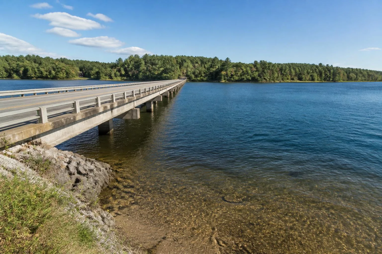
Lake Tillery is a Duke Energy reservoir on the Pee Dee River in the central Piedmont of North Carolina, roughly halfway between Charlotte and the Sandhills. Its western shore is in Stanly County; its eastern shore is in Montgomery County. The lake runs north to south for about 15 miles, from the tailrace below Badin Lake down to Tillery Dam.
The Uwharrie Mountains — among the oldest ranges in North America, now worn down to forested ridges — wrap the lake on the east and north, which is why the shoreline feels wooded and closed-in rather than open and suburban.
Counties & towns
What county is Lake Tillery in?
Both. The lake forms the boundary between Stanly County (west) and Montgomery County (east), so the answer depends on which shore you are standing on. Addresses on the west side are typically Norwood, Albemarle, or New London; addresses on the east side are typically Mount Gilead or Troy.
- Norwood, NC — closest town to the dam and the south end
- Albemarle, NC — Stanly County seat, hospital and full retail, about 20 minutes west
- Mount Gilead, NC — Montgomery County, eastern approach
- Troy, NC — Montgomery County seat, gateway to the Uwharrie National Forest
- Badin, NC — historic Alcoa village on neighboring Badin Lake, just north
Getting here
Drive times and routes
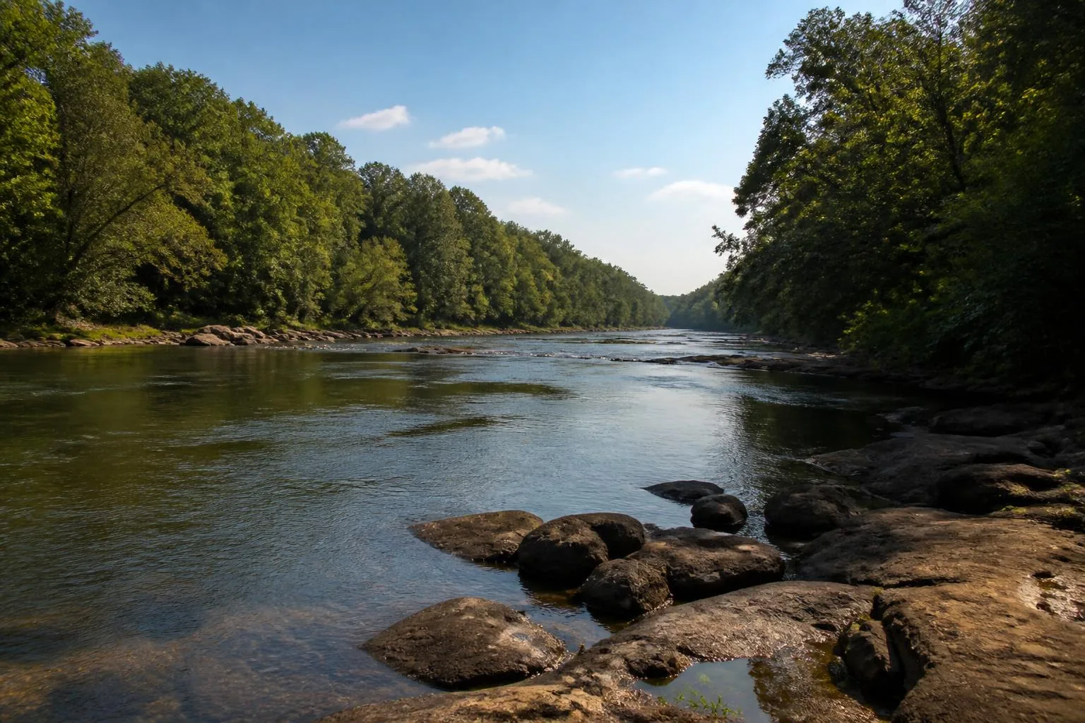
The main east–west route is NC 24/27, which crosses the lake at the Swift Island bridge and connects Albemarle to Troy. From Charlotte, most visitors take NC 24/27 east or US 601 south to NC 24/27. From the Triad, US 220 south to NC 24/27 west is the common approach; from the Triangle, US 64 west to NC 49 south.
Approximate driving times in normal traffic: Charlotte about 1 hour 10 minutes, Concord about 50 minutes, Greensboro about 1 hour 20 minutes, Winston-Salem about 1 hour 30 minutes, Raleigh about 2 hours, Pinehurst about 1 hour, Asheboro about 45 minutes.
- Charlotte — ~60 miles, ~1 hr 10 min
- Concord — ~40 miles, ~50 min
- Greensboro — ~70 miles, ~1 hr 20 min
- Raleigh — ~100 miles, ~2 hr
- Pinehurst / Southern Pines — ~45 miles, ~1 hr
- Charlotte Douglas (CLT) — ~75 miles, ~1 hr 25 min
Orientation
Finding your way once you arrive
Use the interactive map to place ramps, marinas, communities, and towns before you drive. Public access is concentrated at Lilly's Bridge on the north end, the Swift Island area near the NC 24/27 causeway, and Morrow Mountain State Park on the northwest shore.
Cell coverage is generally reliable along the highways and thinner in the coves and the national forest — download directions before you head out on the water.
Questions
Frequently asked
Where is Lake Tillery located?
Lake Tillery is in central North Carolina on the Pee Dee River, between Stanly County on the west shore and Montgomery County on the east shore, about 60 miles east of Charlotte.
What county is Lake Tillery in?
Both Stanly and Montgomery counties — the lake forms the boundary between them. West-shore addresses are usually Norwood or Albemarle; east-shore addresses are usually Mount Gilead or Troy.
How far is Lake Tillery from Charlotte?
About 60 miles, or roughly an hour and ten minutes by car, typically via NC 24/27 east.
What is the closest town to Lake Tillery?
Norwood is the closest town to the south end and dam. Albemarle, about 20 minutes west, is the largest nearby town with a hospital, grocery stores, and the broadest retail base.
Is Lake Tillery man made?
Yes. It is a Duke Energy reservoir formed by Tillery Dam, completed in 1928 on the Pee Dee River.