The Lake
Lake Tillery by the numbers
Acreage, shoreline, elevation, and the dam that made all of it — the reference page for every question that starts with “how big.”
- Surface area at full pond
- 5,260 acres
- Shoreline
- ~104 miles
- Full pond elevation
- ~278 ft
- Tillery Dam completed
- 1928
Size
How big is Lake Tillery?
At full pond, Lake Tillery covers about 5,260 acres — roughly eight square miles of water — with something near 104 miles of shoreline. It stretches a little over 20 miles north to south along the old Pee Dee River channel, and at its widest points spans about a mile and a half between shores.
That combination matters more than the raw acreage: a long, narrow, cove-heavy reservoir produces far more usable waterfront per acre than a round lake of the same size, and it keeps boat traffic spread out. Tillery is roughly a tenth the size of Lake Norman, which is exactly why it feels the way it does on a July Saturday.
Depth
How deep is Lake Tillery?
The deepest water follows the submerged Pee Dee River channel, which runs the length of the lake and deepens as it approaches Tillery Dam at the southern end. Coves, flats, and the upper lake near the Badin tailrace are considerably shallower, and stumps and rock are common outside the channel.
Because it is a run-of-river hydropower reservoir, the depth you actually encounter changes with generation and rainfall rather than staying fixed. Anglers and boaters should read depth from current charts and electronics, not from a single published number — and check the day's lake level before launching.
The dam
Tillery Dam and full pond
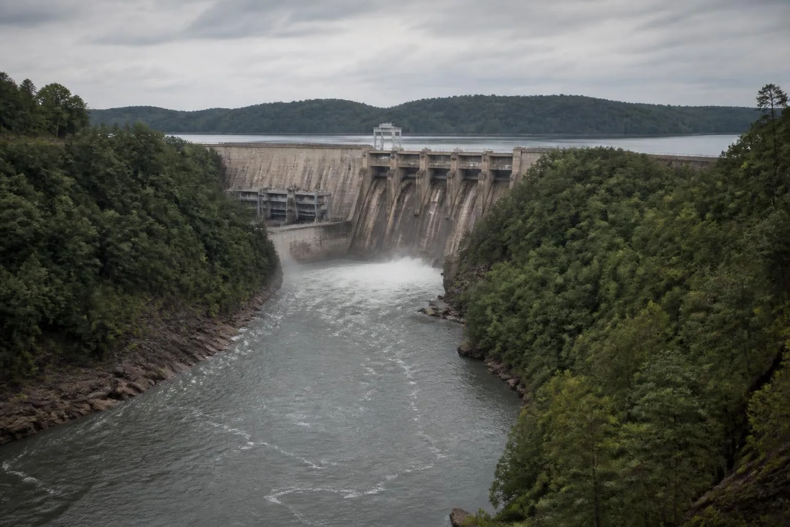
Tillery Dam, completed in 1928, impounds the reservoir at the south end near Norwood. Full pond sits near 278 feet above sea level, and Duke Energy manages the level within a normal operating band, drawing it down and refilling it in response to hydropower generation, rainfall, and flow from Badin Lake upstream.
Practically, that means the lake fluctuates: enough to expose the last step of a poorly set dock ladder, not enough to strand a boat in a well-sited slip. Anyone buying waterfront should look at the shoreline at both ends of that band.
- Reservoir type — run-of-river hydropower impoundment on the Pee Dee River
- Operator — Duke Energy, under a federal FERC license
- Upstream — Badin Lake and the Narrows development
- Downstream — Blewett Falls Lake, then the lower Pee Dee toward South Carolina
Water & wildlife
Clarity, water quality, and what lives here
Tillery is a Piedmont river reservoir, so clarity is seasonal: greener and clearer in late summer and fall, stained and higher after spring rain pushes upstream runoff through the system. It supports largemouth and spotted bass, striped bass, crappie, catfish, and bream, with the channel and the tailrace areas holding the strongest year-round populations.
Alligators are not established here. North Carolina's resident alligator range is the coastal plain, well east and south of the Uwharries; the animals you will actually see are great blue herons, ospreys, bald eagles, deer, and the occasional beaver.
Questions
Frequently asked
How big is Lake Tillery?
About 5,260 acres at full pond, with roughly 104 miles of shoreline, running a little over 20 miles north to south along the Pee Dee River.
How deep is Lake Tillery?
The deepest water follows the old Pee Dee River channel and is deepest near Tillery Dam at the south end. Coves and the upper lake are much shallower, and depth shifts with hydropower generation, so use current charts and the day's lake level rather than a fixed figure.
How many acres is Lake Tillery?
Approximately 5,260 acres of surface water at full pond.
Is Lake Tillery man made?
Yes. It was created by Tillery Dam, completed in 1928, which impounds the Pee Dee River for hydroelectric generation.
Are there alligators in Lake Tillery?
No. North Carolina's established alligator range is the coastal plain, far east of the Uwharrie region. Lake Tillery's wildlife is herons, ospreys, eagles, deer, and beavers.
Who owns and manages Lake Tillery?
Duke Energy operates the reservoir and Tillery Dam under a federal license, which is why lake levels, shoreline permits, and dock approvals all route through the utility.