Things to Do
Hiking around Lake Tillery
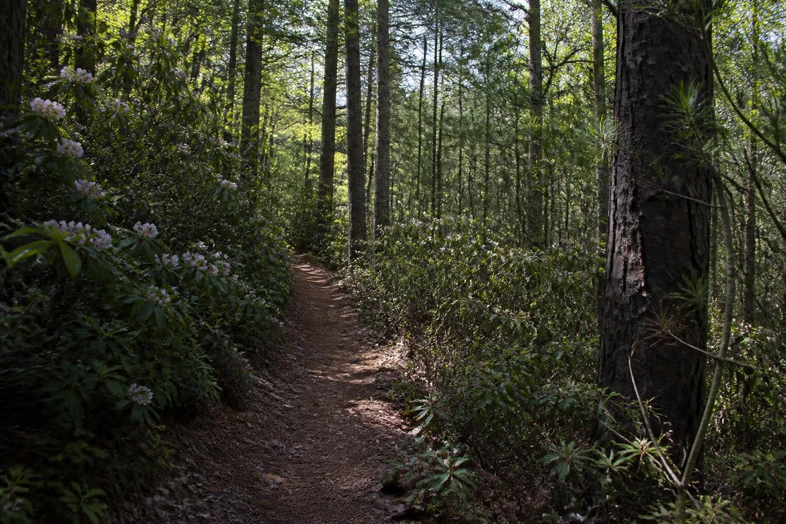
The Uwharries are among the oldest mountains in North America — worn down, quiet, and threaded with trails that most of the state has never walked.
- Trails at Morrow Mountain
- 15+ miles
- Uwharrie National Forest
- 50,000+ acres
- Uwharrie Trail corridor
- ~20 miles
- Best hiking season
- Nov–Apr
Morrow Mountain
The closest trail system to the water
Morrow Mountain State Park occupies a peninsula of Uwharrie ridge on the lake's northwest side, with more than fifteen miles of trail ranging from short interpretive loops to steady ridge climbs. The summit road and overlook give you the region's best long view — the lake below, the Pee Dee valley beyond, and ridge after ridge of old mountains fading out to the east.
The park also holds a seasonal swimming pool, picnic areas, cabins, a campground, and a public boat ramp, which makes it the single most useful destination on the lake for a family that wants water and trail in the same afternoon.
Uwharrie National Forest
Fifty thousand acres east and north
The Uwharrie National Forest spreads across Montgomery, Randolph, and Davidson counties, a short drive from the lake's eastern shore. It is working forest rather than manicured park: gravel roads, hunting seasons, OHV areas in designated zones, and trails that reward a map and a little self-reliance.
The Uwharrie Trail is the backbone — a long north–south footpath through hardwood ridges and creek bottoms that can be walked as day sections or backpacked. Badin Lake's recreation area on the forest's western edge adds shorter loops and lake-adjacent camping.

Season
Why locals hike in winter
November through April is the real hiking season here. The leaves are down, which opens up views that are completely closed in July; the humidity is gone; ticks and chiggers are dormant; and snakes are inactive. Summer hiking is entirely possible but it is a humid, buggy, view-free experience by comparison.
Fall color usually peaks late October into early November, which briefly gives you the best of both — warm afternoons and open color along the ridges.
- Wear blaze orange in the national forest during hunting seasons
- Carry water; there are few reliable sources on the ridges
- Cell coverage is unreliable in the forest interior — download maps first
- Ticks are active from roughly March through October
- Trails can be steep and rocky despite modest elevation numbers
- Leash rules apply in the state park; check current forest regulations
Combining
Trail-and-water days that actually work
The pairing locals default to is a morning hike and an afternoon on the water — ridge trails while it is cool, boat or swim once the day warms. Morrow Mountain makes that trivially easy because the ramp, the pool, and the trailheads share one parking area.
For a longer version, use the trip planner to build a two-day plan that puts the forest and the Uwharrie Trail on one day and the lake, a marina lunch, and a sunset cruise on the next.
Questions
Frequently asked
Where can you hike near Lake Tillery?
Morrow Mountain State Park on the lake's northwest side has more than fifteen miles of trail and the area's best overlook. The Uwharrie National Forest, a short drive east and north, adds tens of thousands of acres and the long Uwharrie Trail.
How long is the Uwharrie Trail?
The Uwharrie Trail runs roughly twenty miles through the national forest as a north–south corridor, and it is commonly walked in day sections or backpacked over a weekend.
When is the best time to hike the Uwharries?
November through April. Leaf-off opens the ridge views, humidity and insects drop away, and temperatures are comfortable for climbing. Fall color typically peaks in late October and early November.
Are the Uwharrie Mountains really that old?
Yes. They are among the oldest mountain ranges in North America, once far higher and now eroded down to forested ridges of a few hundred to roughly a thousand feet.